Description
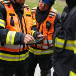
GINA Software is a technology company developing and providing a public safety and security management system called GINA. The company was established in 2010 and since then has become a specialist in provision of AVL systems and field cooperation applications used by Public Safety and Defence Agencies, Humanitarian Organizations, Oil & Gas and Mining Industries.
Competences and capabilities
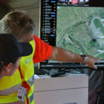
The main goal is to Allow tactical coordination between commanders and field units over the same map. Respond faster & make informed decisions using the most reliable situational awareness platform.
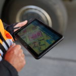
The ultimate tool for reaching this goal is an interactive map providing constant real-time visibility of all units from variety of devices combined in a single interface with advanced features such as history of movement, data visualization, automatic reporting, video surveillance and data analysis.
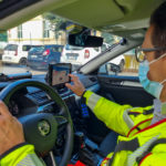
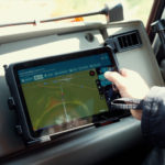
In addition to that, GINA has developed an in-vehicle public safety field cooperation application featuring incident information, navigation, live data feeds, video streaming and field informational support tool.
Products/Services
- GINA Central – a modern tactical AVL software providing real-time information.
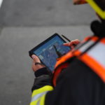
- GINA Tablet/Mobile – a emergency response/field response app.
- GINA GO – a location tracking app with panic button.
Major Space Projects & References
Search and Rescue Operations (Haiti, Japan, Lebanon, Czech Republic)
Fire and Rescue Services of the Czech Republic, Slovakia, Germany, Switzerland.
Deployment for Security Organizations
Deployment for European Commission ESA FIRTS RESPonse Project (118 Verona Italy)
Space Related Equipment, Labs & Certificates
Assets & Vehicle Tracking devices: Rugged GPS tracking devices, GSM connectivity, A-GPS sensor, Programmable buttons, Configurable Tracking frequency.
Mobile Terminals: Robust device with ergonomic design for whole day usage, enabling extension by accessories: Smartphone features, GPS location sharing.
Iridium Satellite Terminal: Unique solution for intelligent tracking over satellite and mobile networks: Iridium/GSM/3G network connectivity, Price equivalent to personal satellite trackers, Predictive location sending, Interactive map.

